01Problem
Data, measurements and information about the Mincio river exist, but they're scattered and hard to read for non-experts.
02Solution
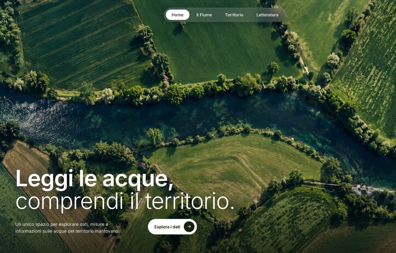
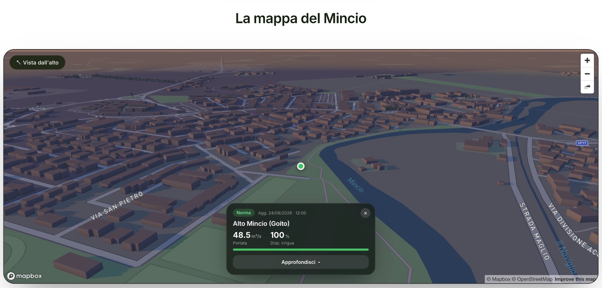
One place to explore the waters of the Mantua area: an interactive 3D map of the Mincio with its measuring points, plus sections on the river, the land and literature.
- 3D map of the Mincio with its monitoring points
- For each point: flow rate, irrigation availability, status and last update
- River, Land and Literature sections
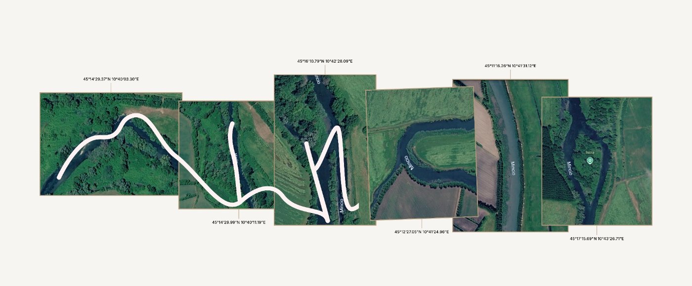
- Animated loading screen built from satellite views of the river
03Result
A live, working site built by the team during the hackathon (September 2026).
04Stack
- HTML
- CSS
- JavaScript
- Mapbox GL
- GSAP (ScrollTrigger, MorphSVG)
Need something similar?
Let's talk